![]()
![]()
![]()
![]()


My Account
Log In
Log Out
Shopping Cart
Browse by region:
![]()
Quick links:
Recent Additions
Contact Us
Gallery Directions
We Buy Maps
Map Resources Join our mailing list to receive periodic map
updates.
|
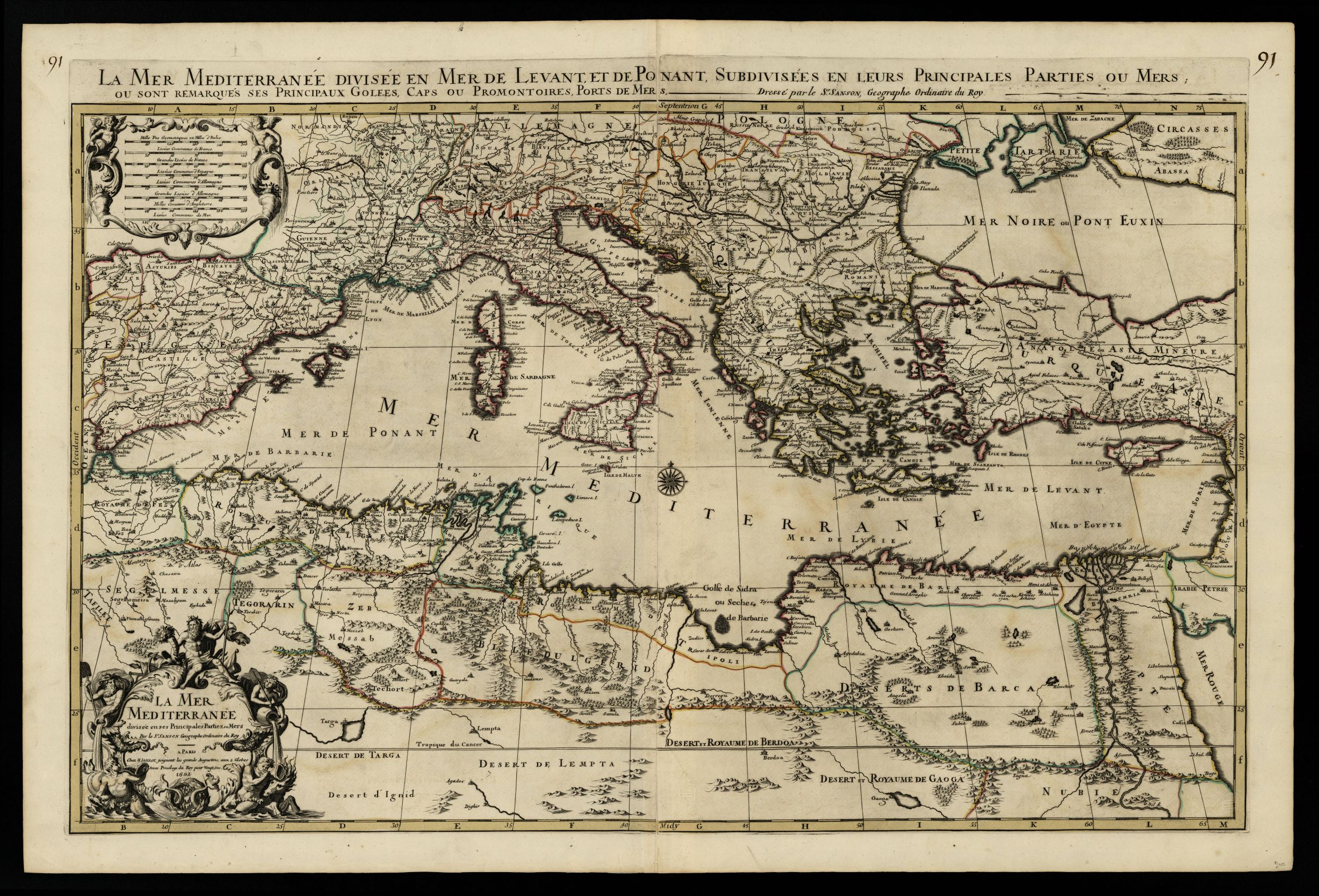
949- La mer Mediterranée divisée en Mer de Levant et de Ponant, subdivisées en leurs pr . La carta, che misura cm. 63 x 94, si trova in Atlas nouveau, di Jaillot e rappresenta il mar Mediterraneo diviso in Levante e Mare Occidentale Autore: Pierre Mortier
Amsterdam,1692
Acquista on line :
Vai al carrello |