![]()
![]()
![]()
![]()


My Account
Log In
Log Out
Shopping Cart
Browse by region:
![]()
Quick links:
Recent Additions
Contact Us
Gallery Directions
We Buy Maps
Map Resources Join our mailing list to receive periodic map
updates.
|
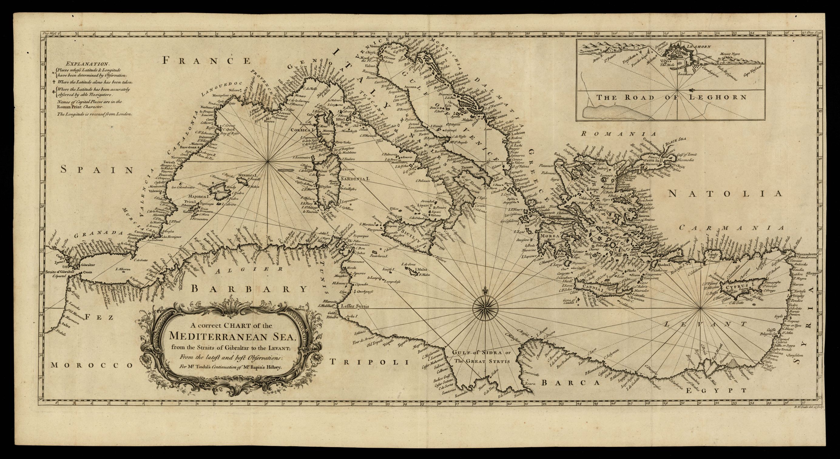
948- A correct chart of the Mediterranean sea, from the straits of Gibraltar to the Levant . La carta, che misura cm.33x71, rappresenta una carta corretta del Mar Mediterraneo, dallo stretto di Gibilterra al Levante Autore:
Londra,1744
Acquista on line :
Vai al carrello |