![]()
![]()
![]()
![]()


My Account
Log In
Log Out
Shopping Cart
Browse by region:
![]()
Quick links:
Recent Additions
Contact Us
Gallery Directions
We Buy Maps
Map Resources Join our mailing list to receive periodic map
updates.
|
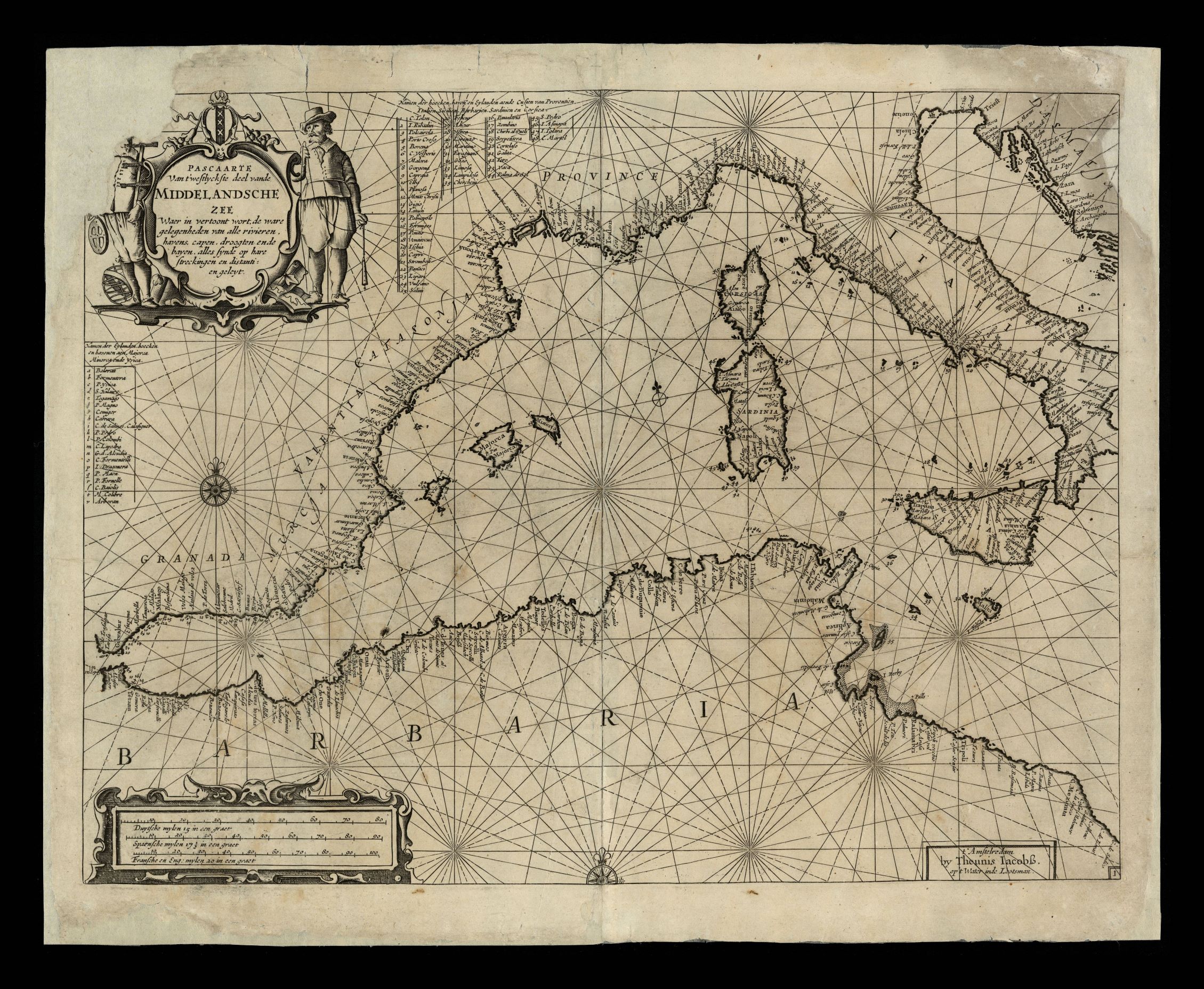
947- Pascaarte van ’t westlyckste deel vande Middelandsche Zee waer in vertoont wort, . La carta, che misura cm. 50 x 6, si trova in 't Nieuw Groot Straets-Boeck, di Anthoni Jacobsz e rappresenta il Mare Mediterraneo Autore: Theunis Jacobsz
Amsterdam,1656
Acquista on line :
Vai al carrello |