![]()
![]()
![]()
![]()


My Account
Log In
Log Out
Shopping Cart
Browse by region:
![]()
Quick links:
Recent Additions
Contact Us
Gallery Directions
We Buy Maps
Map Resources Join our mailing list to receive periodic map
updates.
|
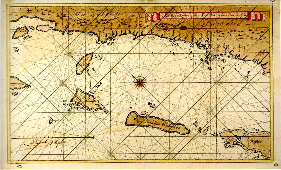
698-SUMATRA: COSTA OCCIDENTALE . La Carta, che misura 58.5 X 98.5, si trova nell’atlante Ad Usum Navigantium del cartografo olandese Gerard van Keulen (1678-1726) ed è stata realizzata nerl periodo dal 1709 al 1713. Raro esemplare di carta manoscritta da utilizzarsi per la navigazione Autore: Van Keulen
,1678
Acquista on line :
Vai al carrello |
