Le mie mappe
Carrello richieste consultazioni
Regioni:
![]()
Naviga:
Ultime Acquisizioni
Storia della cartografia
I cartografi
Eventi
Edizioni Accimo
Brochure MB
Contatti
Glossario
Sitemap

|
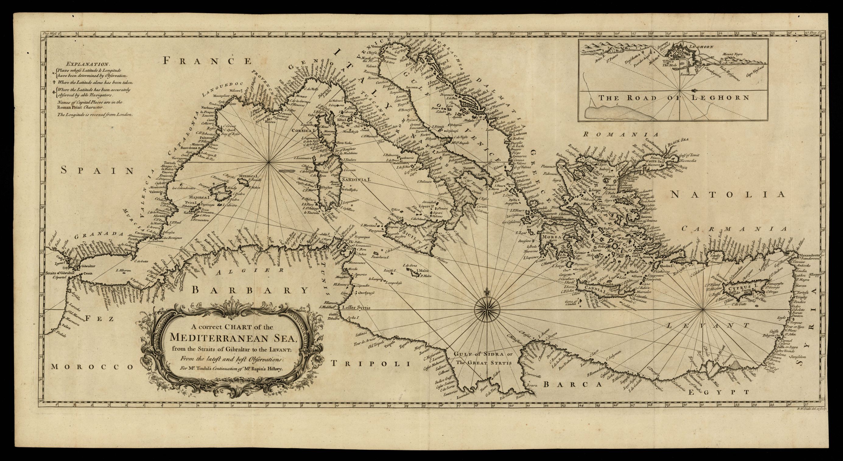
948- A correct chart of the Mediterranean sea, from the straits of Gibraltar to the Levant Descrizione: La carta, che misura cm.33x71, rappresenta una carta corretta del Mar Mediterraneo, dallo stretto di Gibilterra al Levante Autore: Luogo: Londra Anno: 1744
Richiesta |


